Operational Radar & Lightning Products
Important notes:
The 1-hour animations are updated automatically every 35 seconds.
In case the images of any product are expired for more than 1 hour, please contact LMS.
Acronyms:
MDA: Mesocyclone Detection Algorithm
PCAPPI: Pseudo Constant Altitude Plan Position Indicator
PTYPE: Precipitation Type
QPE: Quantitative Precipitation Estimation
V: Radial Velocity
V*: Corrected/Dealiased Radial Velocity
VIL: Vertically Integrated Liquid
Z: Reflectivity
ZMAX: Maximum Reflectivity
Copyright:

Polarimetric radar located in Neuheilenbach (Germany)
Operator: Deutscher Wetterdienst (DWD)
Latitude/Longitude: 50.1097°N/6.5483°E
Height of antenna: 586 m
Frequency: 5.625 GHz (C-Band)
Beam width: 1°
Horizontal range resolution: 250 m
Maximum range: 150 km (precipitation scan), 180 km (volume scan)

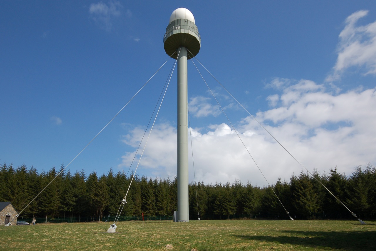
Polarimetric radar located in Wideumont (Belgium)
Operator: Institut Royal Météorologique (IRM)
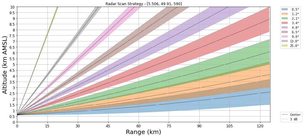
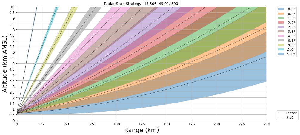
Latitude/Longitude: 49.91°N/5.506°E
Height of antenna: 592 m
Frequency: 5.64 GHz (C-Band)
Beam width: 1°
Horizontal range resolution: 250 m
Maximum range: 125 km (volume scan), 250 km (Z only scan)

Belgian Lightning Location System
Operator: Institut Royal Météorologique (IRM)
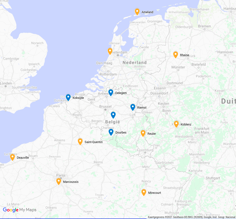
Number of sensors: 14
Contributing countries: Luxembourg, France, Germany, Netherlands


